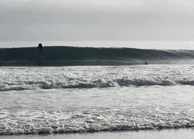
La Niña means cooler water at the equator in the Central and East Pacific, strong tradewinds (east to west) and (most importantly) solid North swells. During a strong La Niña the Jet Stream pushes north causing swells to come from steep North angles — hitting spots like Mavericks hard while we get the scraps in LA.
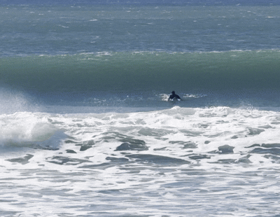
It’s officially a weak La Niña this winter. This isn’t shaping up to be a decade defining run by any means but we can still expect to see a solid amount of days to surf — Plenty shoulder-to-head high Westerly-WNW days kicking off in November.
The problem we have for the first half of November is the Storm Track’s sitting too North for ideal LA swell directions — like that swell that hammered Morro the last weekend of October and barely got into the South Bay for a few days. In the past, the Jet Stream has waivered as early as the second half of November, shifting a few degrees south and setting up Southern California to get more action.
If you want to be positive about a weak La Niña winter — we’re right in the sweet spot — enough La Niña to get the Pacific moving but not enough to push swells too North.
TL;DR — Solid amount of shoulder-to-head high WNW swells. Ideally, we’d get a strong El Niño and have a crazy run of overhead-plus days, but this is trending toward a normal fun winter.